دانلودکتابمحصولنرم افزارهای GIS
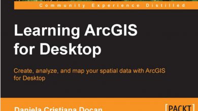
کتاب ArcGIS Imagery – کار با تصاویر ماهواره ای در ArcGIS
Book Description
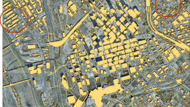
Explore how imagery and remote sensing power modern GIS. Use this web site and the companion Learn GIS lessons to roll up your sleeves and quickly begin putting imagery to smarter, more skillful use with your GIS. Experienced GIS people and armchair geographers alike will appreciate the wealth of gorgeous, inspiring, and occasionally troubling images and links to powerful web apps and maps that weave interesting stories about our planet and the issues we face.
Publication Date: 2016
Mediafire Download Link
Enjoy