دانلود نرم افزار ESRI ArcGIS Desktop 10.4.1
توضیحات برنامه ArcGIS Desktop 10.4.1
لینک دانلود ArcGIS Desktop 10.4.1
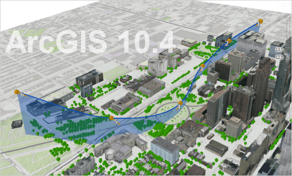
AcrGIS 10.4.1
Esri has released AcrGIS 10.4.1 is a maintenance and quality improvement release. ArcGIS 10.4 major release bring you new and improved capabilities for visualization and enterprise readiness plus new and enhanced apps.Esri has added several new tools to ArcGIS for Desktop and its extensions for 10.4. This includes new tools for working with Lidar data. They have also updated several existing tools. Here are several new or updated tools you will find in 10.4.


– Classify LAS Ground – new tool – 3D Analyst Extension – Classifies ground point in LIDAR datasets
– Extract LAS – 3D Analyst Extension – new tool – Extracts LAS files that overlay a clip feature or extent
– Transform Features – new tool – Desktop – Converts the coordinates of input features from one location to another through scaling, shifting, and rotating based on the transformation links between known corresponding control points.
– Create SQLite database – new tool – Desktop
– Copy Raster – updated tool – Desktop – Added two new parameters: Transform and Format
– Create Feature Class – updated tool – Desktop – Geometry Type parameter has new option: Multipatch
– Create Map Tile Package – updated tool – Desktop – New parameter added: extent
– Export Topology Errors – updated tool – Desktop – Now works at all license levels including Basic
– Topology Edit Tool – updated tool – Desktop – Now supports additional commands and keyboard shortcuts.
– Press the N key to select Topology Nodes
– Press the E key to select topology Edges
– Move and Move To commands now available on the topology edit context menu.
– New raster formats now supported:
– SPOT-7
– UAV/UAS
– WorldView-3 with SWIR bands
– netCDF and HDF stored as irregular spaced arrays
In addition to these new and updated tools, ArcGIS for Desktop 10.4 now supports Python 2.7.10. Plus, additional third party libraries have also been added such as SciPy, pandas, Sympy and nose. These further increase the capabilities of Python Scripts used with ArcGIS.
https://mega.nz/#!Oh…JR18ZcFna7q7S8M
Password: hoangdiep
What’s new:
http://support.esri.com/download/6433
ArcGIS for Desktop 10.4.1, full installer with all extensions: https://goo.gl/gKBza7
https://goo.gl/gKBza7

ممنون.مراحل نصب به چه صورت است؟؟؟؟
مراحل نصب درست آموزش ArcGIS را که برای تمام نسخه های ArcGIS Desktop یکسان است در ویدیویی در لینک زیر آموزش دادم حتما با دقت ببینید:
لینک: آموزش ویدیویی نصب ArcGIS Desktop 10.x